This is the first month where current rules about social distancing mean that we can’t walk as a group.
But, ever resourceful, we walked as multiple groups.
Adrienne
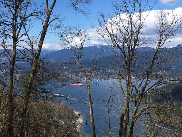
This is on the North Shore … walked from Hyannis Drive, on a trail called Bridle Path to the east, that ended up coming out by Northlands Golf course/ Old Buck trailhead, and lower Mount Seymour Road. Then I looped back to the car on a combination of trails and roads!
Alan
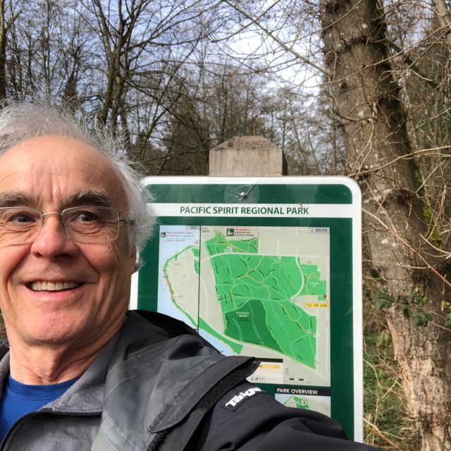
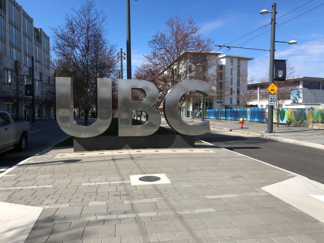
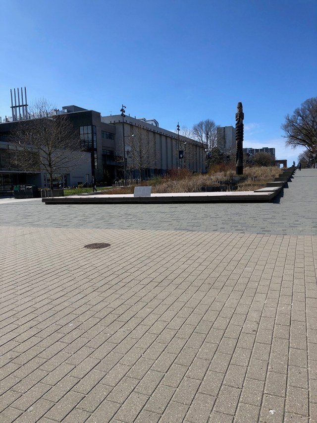
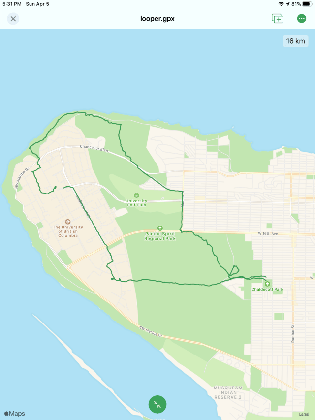
I did about 16km through various parts of Pacific Spirit park and connecting roads. Kept mostly to wider trails to simplify the distancing issue. (Though some of the larger family groups also seemed to prefer these trails while moving at toddler speed!)
Got from end of King Edward to Wesbrook Village, then meandered for a while around UBC. (Sure sign of the Armageddon: parking is free around campus!)
Then down Trail 3 to Tower Beach and along the beach, then back into the park, over to Chancellor and Blanca, and eventually back into the park to reach my starting point. (With a little side loop when I missed the trail after crossing Imperial Drive.)
Very pleasant weather for walking and not too crowded.
Anne and Maurice
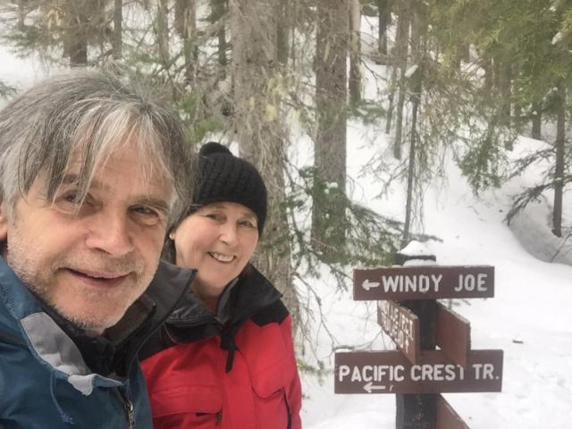
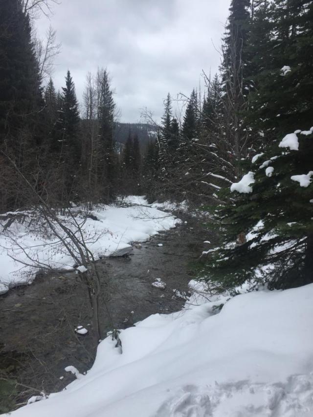
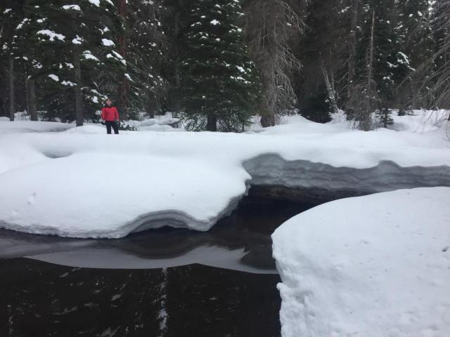
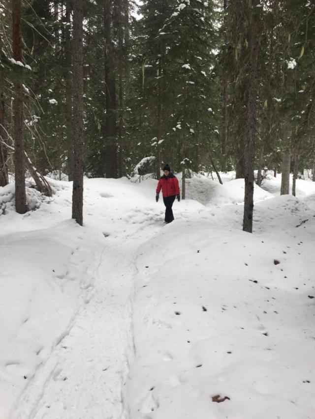
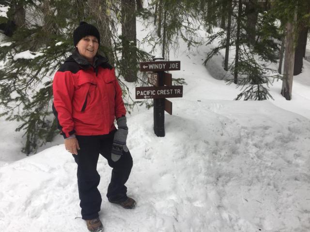
Maurice and I went for a walk to Manning Park. Winter is still resident here. Lots of snow and easy to carry out social distancing. Took a trail beside the Similkameen Creek.
Distance was about 5km, following a snowshoe track. It would have been impossible to venture alone, as the depth of snow was approximately 2m!
Hope our Sunday walks resume again soon.
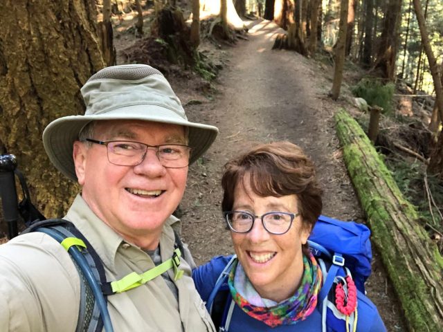
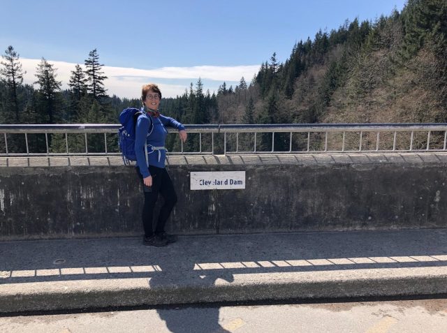
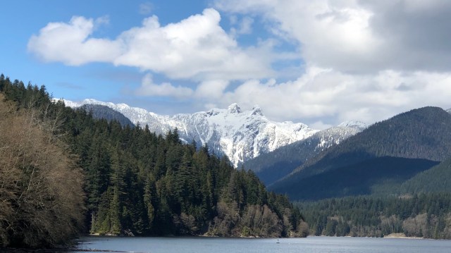
Bruce and Janet K
Janet and I too got outside, and had a very enjoyable hike from Ambleside to Cleveland Dam and back. 😃 Missed meeting up with everyone afterwards. 😕
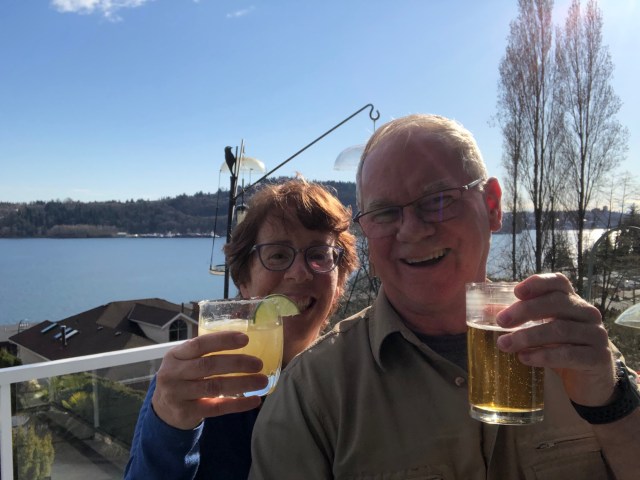

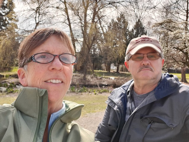
Carol and Sandy
Hi Loopers: We missed you so much today, but walked with you in spirit in the beautiful sun. I hope these photos aren’t time stamped, as we wanted to make a good Loopers start at 10:30, but it wasn’t until a bit later that we set off.
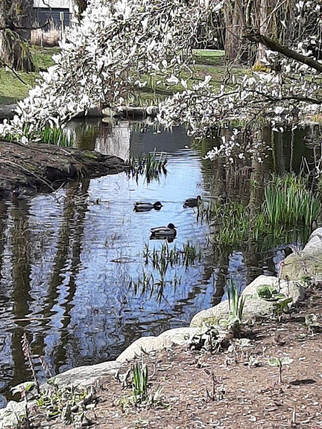
We walked east on Adanac from our place, over the freeway. Then turned south to a lovely duck pond. I took my first selfie at the pond! But, if it’s a photo of two people, can you really call it a selfie? Maybe it should be an “Us-ie”. Any ideas?
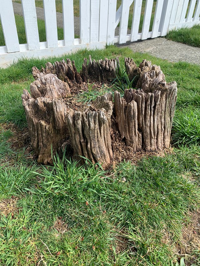
We passed an ancient UFO landing site, that looked straight out of Zion canyons in Utah.
After the duck pond we found a new crossing back over Hwy 1, and ended up at a lovely pitch and putt, that has been a location of many of our walks of late. It’s closed to the public, but that doesn’t stop some valiant players from making the rounds.
It was such a pleasant walk we thought we’d try and curate it into a possible Loopers trek in the future?
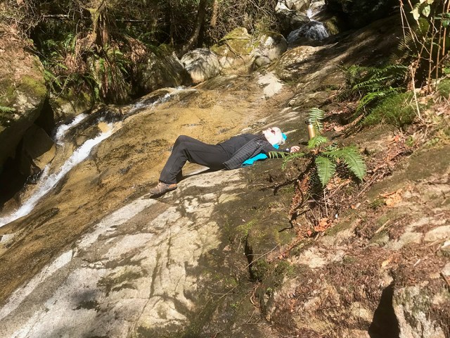
Dave and Angela
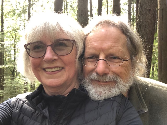
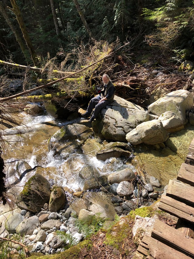
Luckily, we don’t have to walk far to find trails. Five minutes away from our back door, we entered Secret Trail and followed it over springy underfoot pine- and fir-needle cushioning, over roots and rocks, and over ten creeks with bridges of varying sturdiness and safety, to Raven Falls. Boots, the fearsome attack chihuahua, kept us safe. We had lunch on the rocks at Raven Falls.
Afters were consumed on our small but sunny patio.
Don
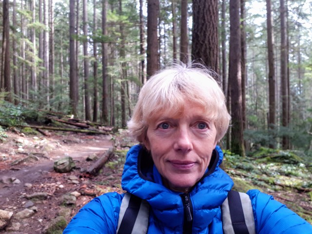
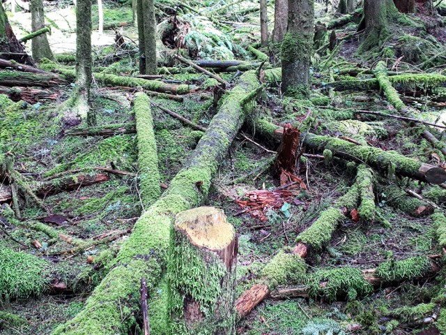
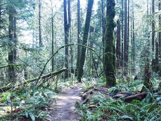
I walked our new puppy, Maisy. First time through the woods from home to Braeburn, then on to Strathcona Hill.

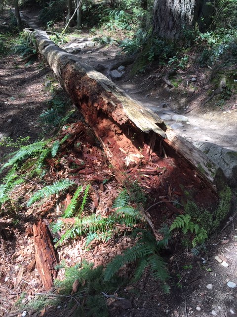
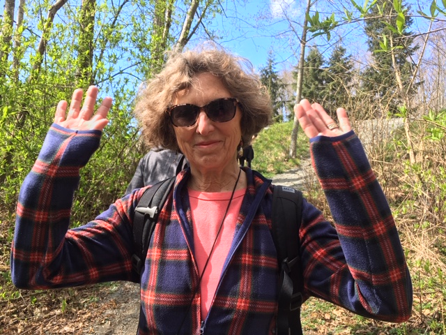
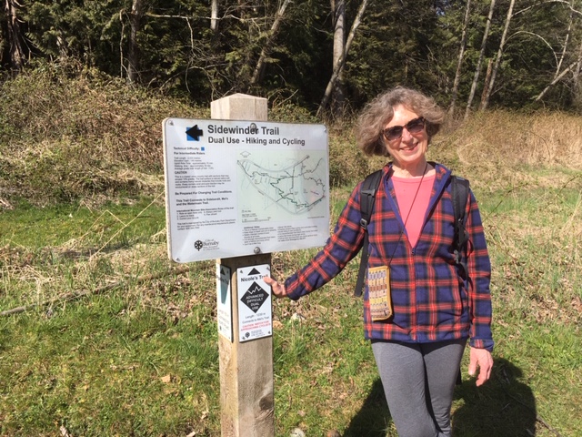
Fred and Joette
Here are the bare bones:
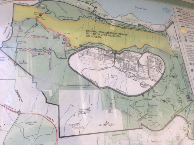
- Out and Back walk of about 10km
- Made up of various trails on Burnaby Mountain: a mix of Trans Canada Trail, Pipeline Trail, and a couple of mountain bike/dual-use trails including the aptly-named “Sidewinder”
- Elevation gain of 352m
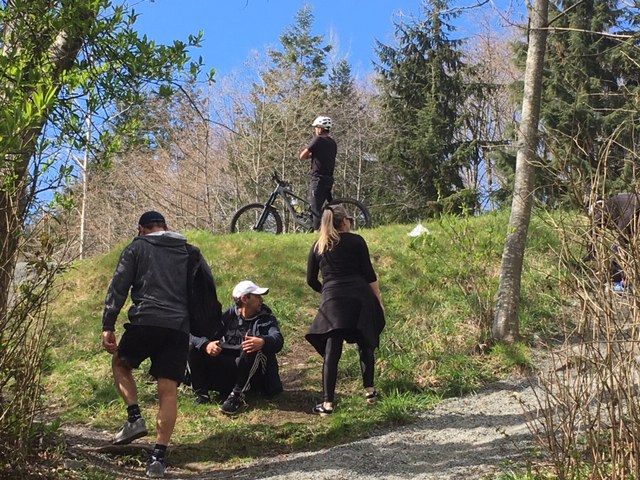
- Everyone on trail was very Covid-aware and polite

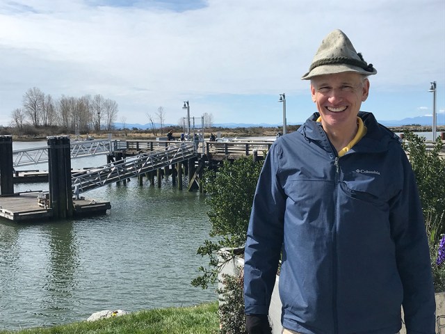
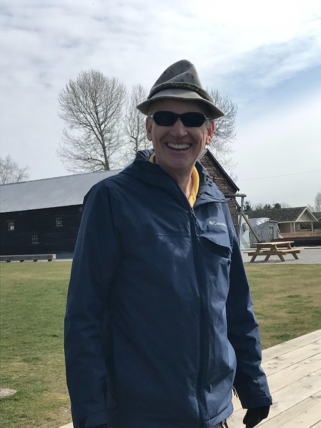
Gord and Sherry
Sherry and I started at Garry Point Park in Richmond and walked east on the trail along the river to about Gilbert Road and then went back the same way. This is my hat that I bought in Austria many moons ago.

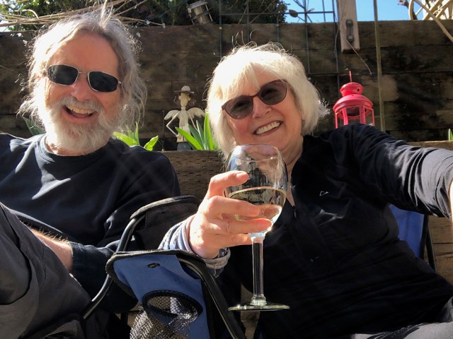
Janet S
Today I did what has become my routine — a random walk around the streets. But I walk down streets where I have never been before, and see new things.
I only took one photo today, and I just drank a glass of wine for Tina. [Ed: Happy Birthday, Tina!]
Hope you are all keeping well and sane. At least there is lots of time to read.

Jon
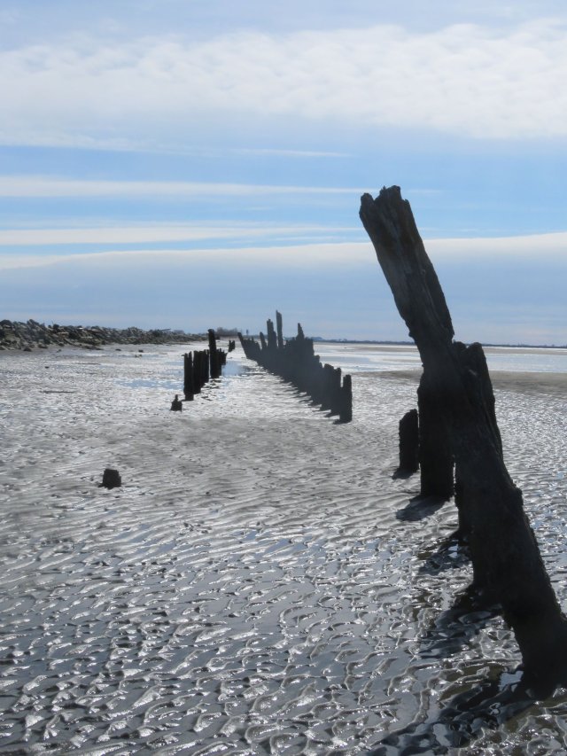
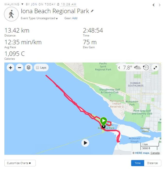
My solo Looper outing was at Iona Beach Regional Park. When I arrived I was somewhat concerned at the number of cars both in the park and arriving but fortunately I did not encounter many people in my wanderings.
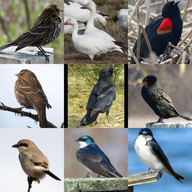
My route took me first through the northeast part of the park around some ponds where there was a variety of birds to observe, including a flock of snow geese making quite a racket. I managed to capture a number of avian portraits, but alas — no herons. I only ran into one or two people in that section of the park, clearly bird-watchers.
I then took the trail out along the North Arm Jetty. Most people just do the south Iona Jetty, which is a 4km (each way) walk on top of a sewage outfall pipe. The north jetty is more natural (well, as natural as a man-made jetty can be) and is a much more enjoyable and interesting walk. It is about 4.5km each way, partly along a path atop the jetty and then back along the shore. The western end terminates across from Wreck Beach. I only passed a half-dozen people along the way.
Returning past the parking lot I was somewhat shocked at the number of cars — the lot was pretty much full, and many cars were also parked along the roadway. I think many of the people were walking the boring Iona Jetty which had signs indicating it was now a one-way route, with the return done via a road that parallels the pipeline. At this point I beat a hasty retreat, having had an enjoyable, if solitary morning.

Karina and Elizabeth
I walked today at Crescent Beach with my friend Elizabeth. It was great to be outside and get some fresh air as well as to just see other people. Elizabeth and I walked 6 feet apart and made every effort to social distance whenever we met people along the path. Everyone was friendly as we passed each other, that is the positive about this very strange time.
Unfortunately, I forgot to take pictures!
I hope we can all walk together in May.
M and J
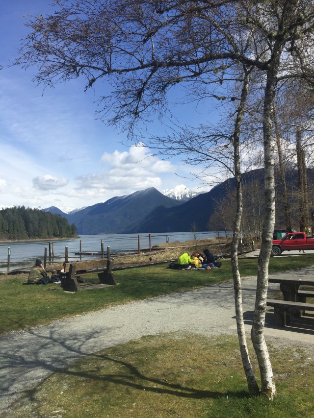
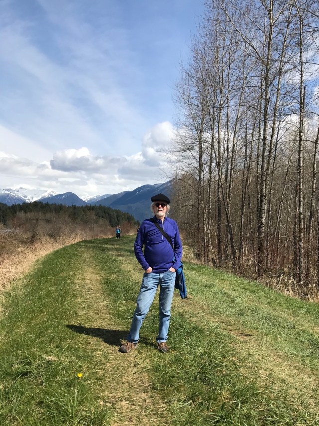
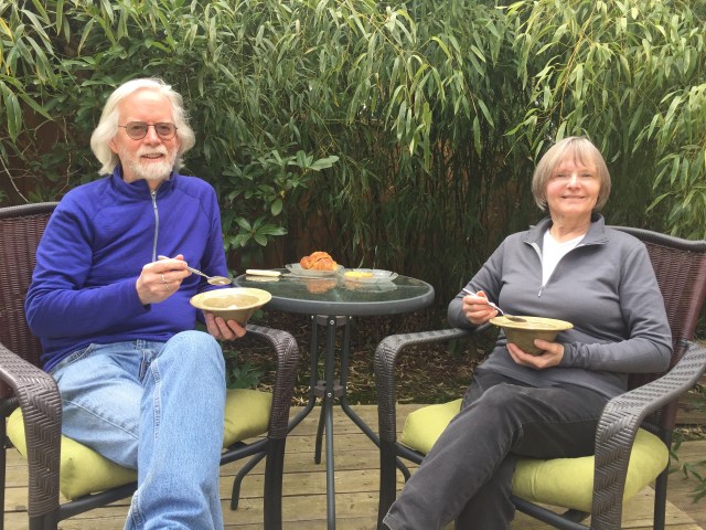
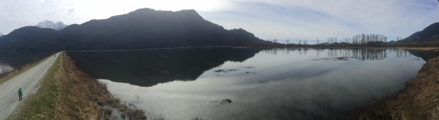
Loopers J&M hopped in their car (for the first time in 3 weeks+) and headed east for their April walk, destination Pitt Lake, for a stroll along the dykes of Pitt Polder and the Pitt-Addington Marsh Wildlife Management Area. The theme was “Reflections”, for there seemed to be more reflections than things to reflect. Pitt Lake’s parking lot was closed (as at many others’ local parks: in Deep Cove; Cates Park etc) so they (we) parked roadside, just outside the gate, continuing from there to the lake, and then clockwise along the dykes, in a 6km+ triangle route. To add a few more km, we followed another grassy dyke beside the Pitt River, looping back (yes!) to our car. Total distance covered was about 11km. Many others were out walking on the dykes, but social distancing was followed at all times (note: the path along final leg of the initial triangle is narrow, necessitating the occasional leap into the bushes). Channeling the Mighty Jon, we took frequent photos to document our walk [Ed: a limit has been imposed on the number of photographs per group]. Afters were consumed at home, including a chocolate hazelnut croissant picked up en route from Chez Christophe (note: they will deliver orders of $35 plus to Burnaby addresses!).