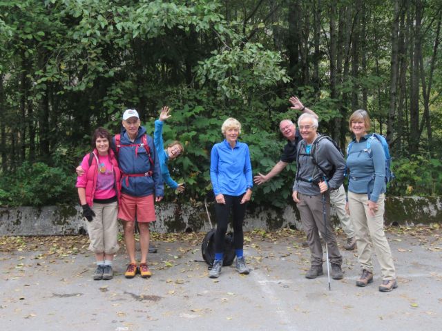
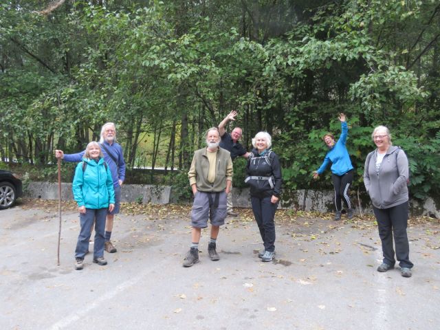
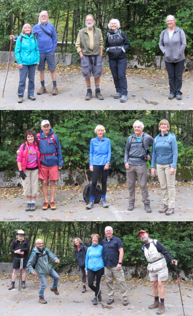
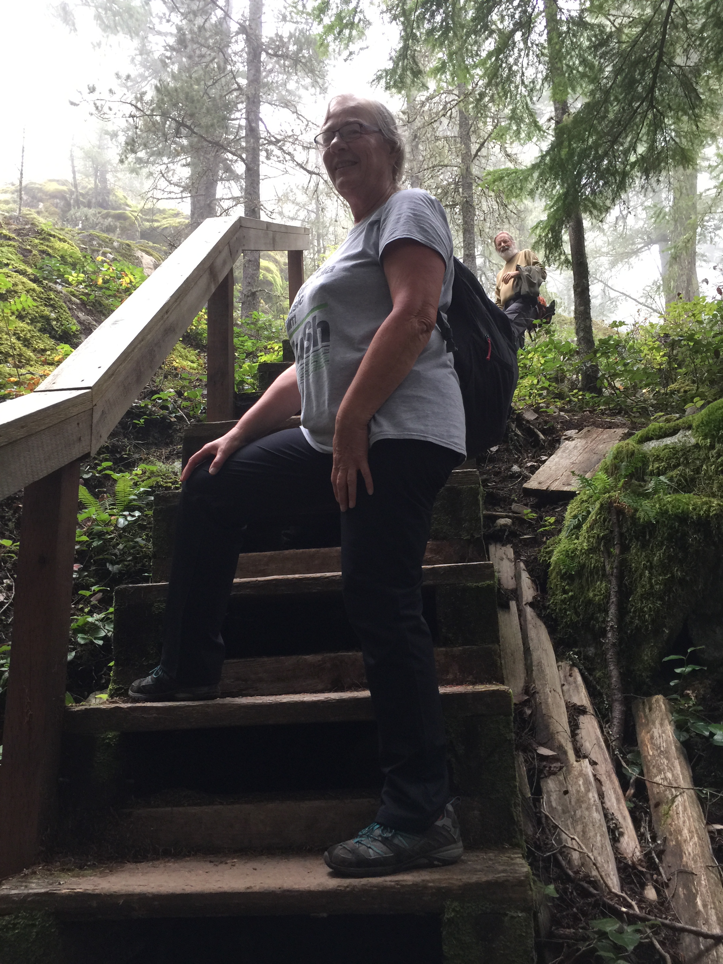
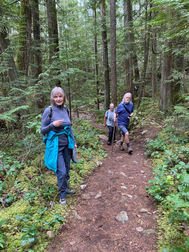
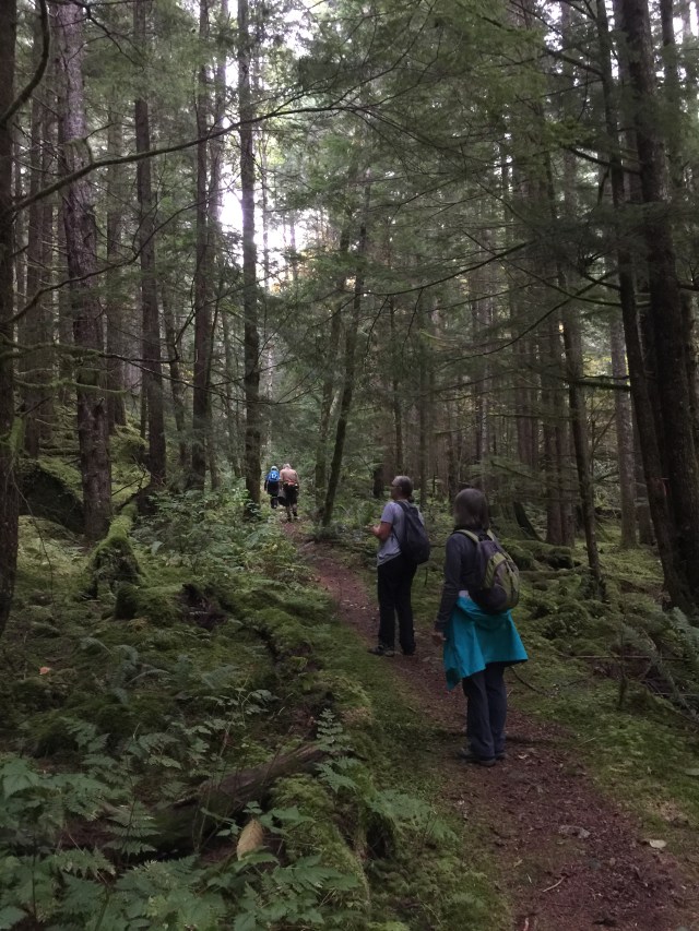
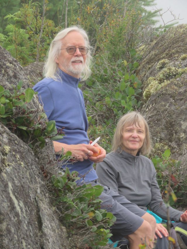
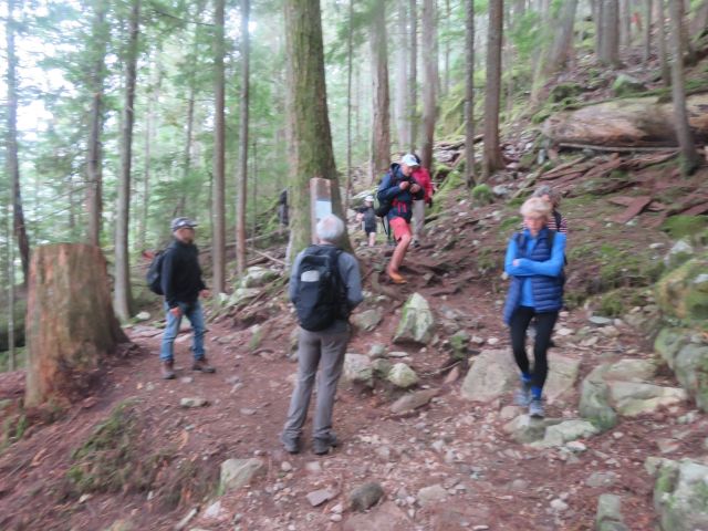
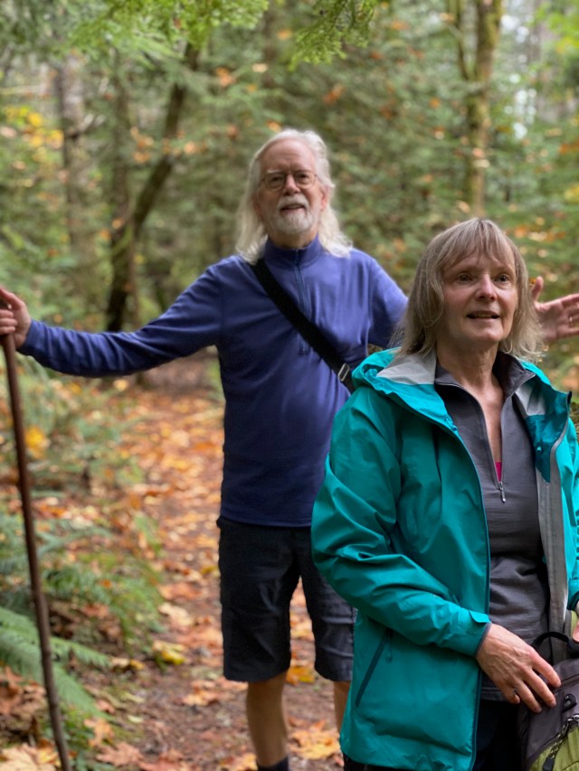
October’s Looper walk was on a misty Sunday, along a slightly rough trail through the Brohm Lake Interpretive Forest, about an hour’s drive north of Vancouver. Loopers were divided into three groups, departing at roughly 10-minute intervals from the parking lot, the groups this time being led by Dave (Angela, Jean, Michael, Janet S), Alan & Julie (Joanne, Gordon, Adrienne) and Bruce (Janet K, Joette, Fred, Jon, Steve). To mark the official start, three formal group selfies were taken by Jon, the Official Looper Photographer, who had to contend with a couple of unruly photo bombers, capering in the background.
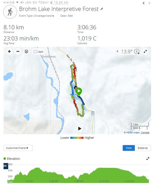
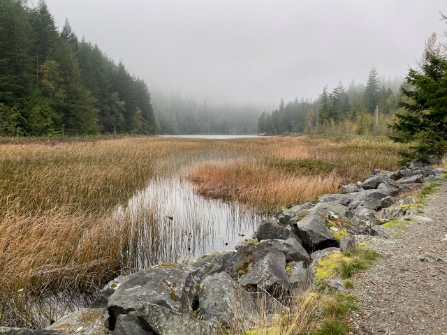
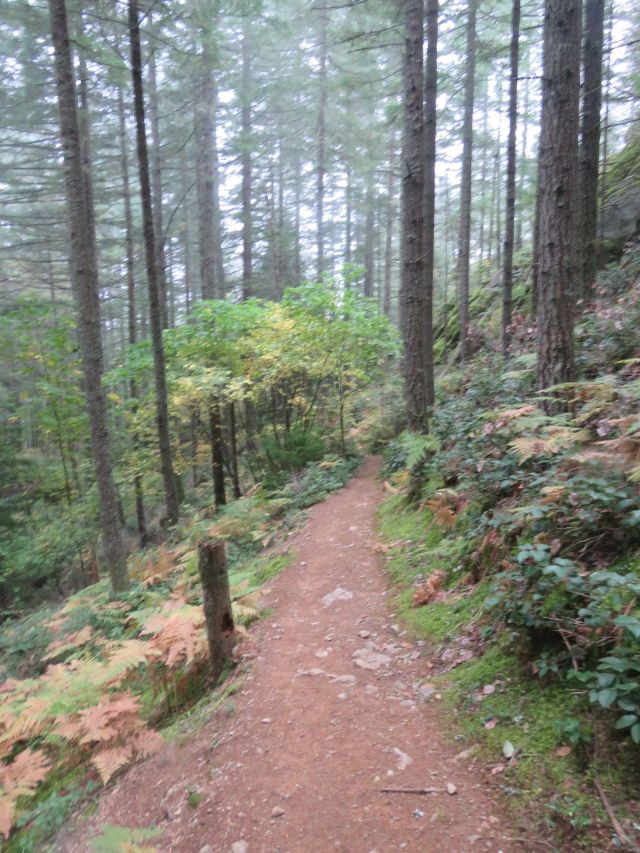
The route describes a clockwise loop, approximately 9 km in length, more-or-less circumnavigating Brohm Lake (trail map here, and route map below). Traffic noise from Highway 99 to Whistler was a near-constant companion at the start and end of the trail.
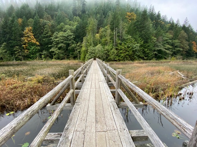
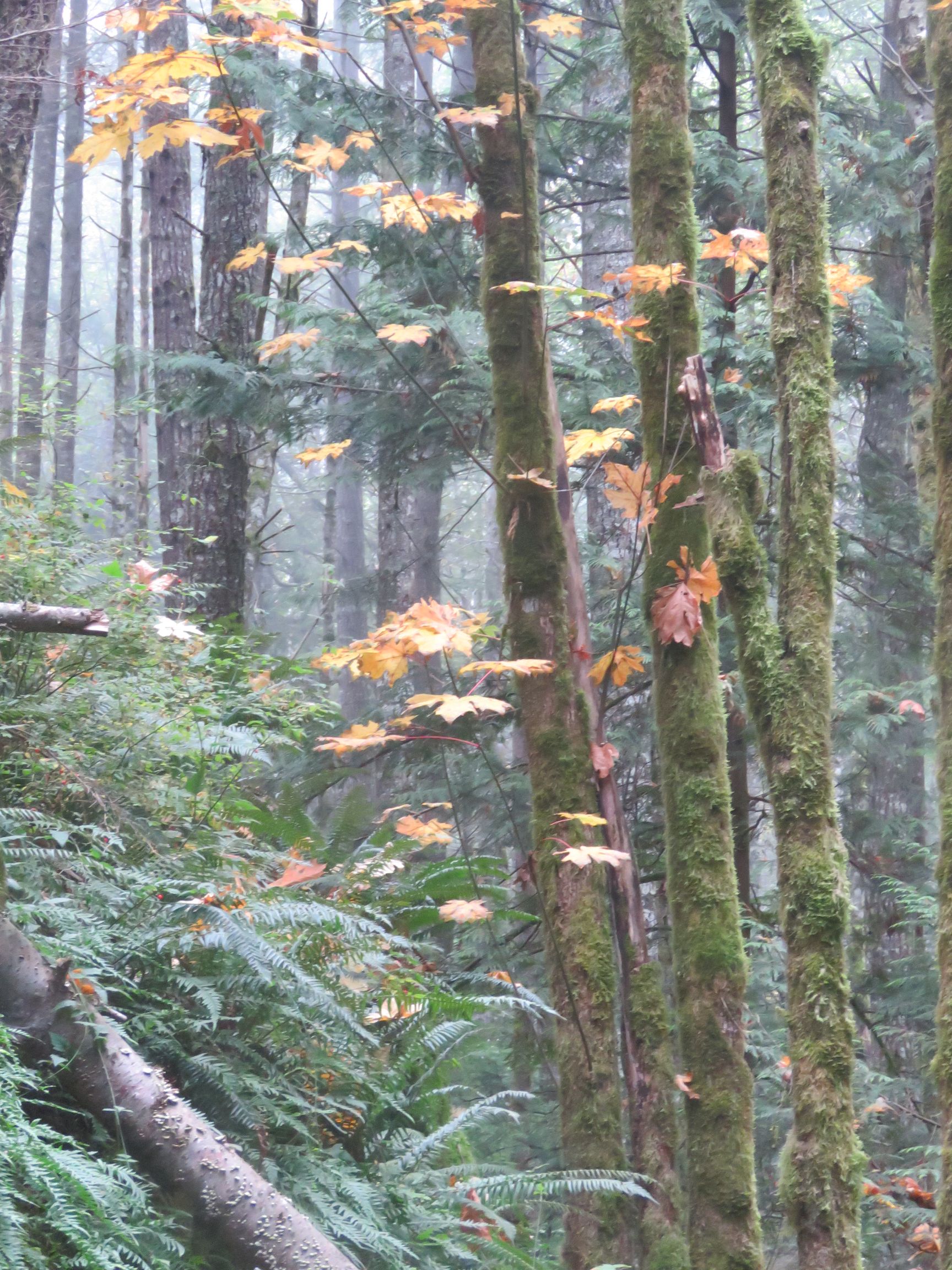
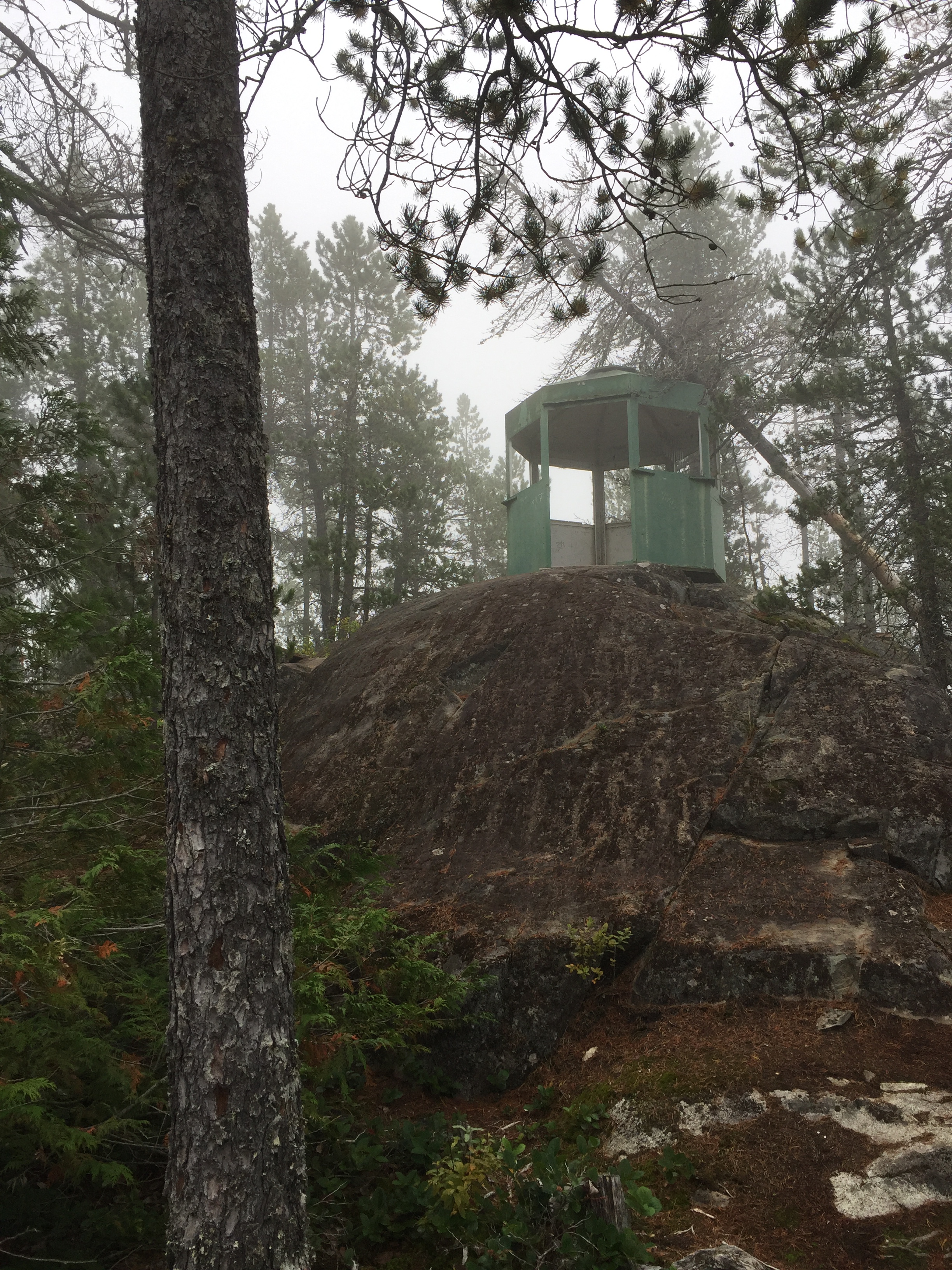
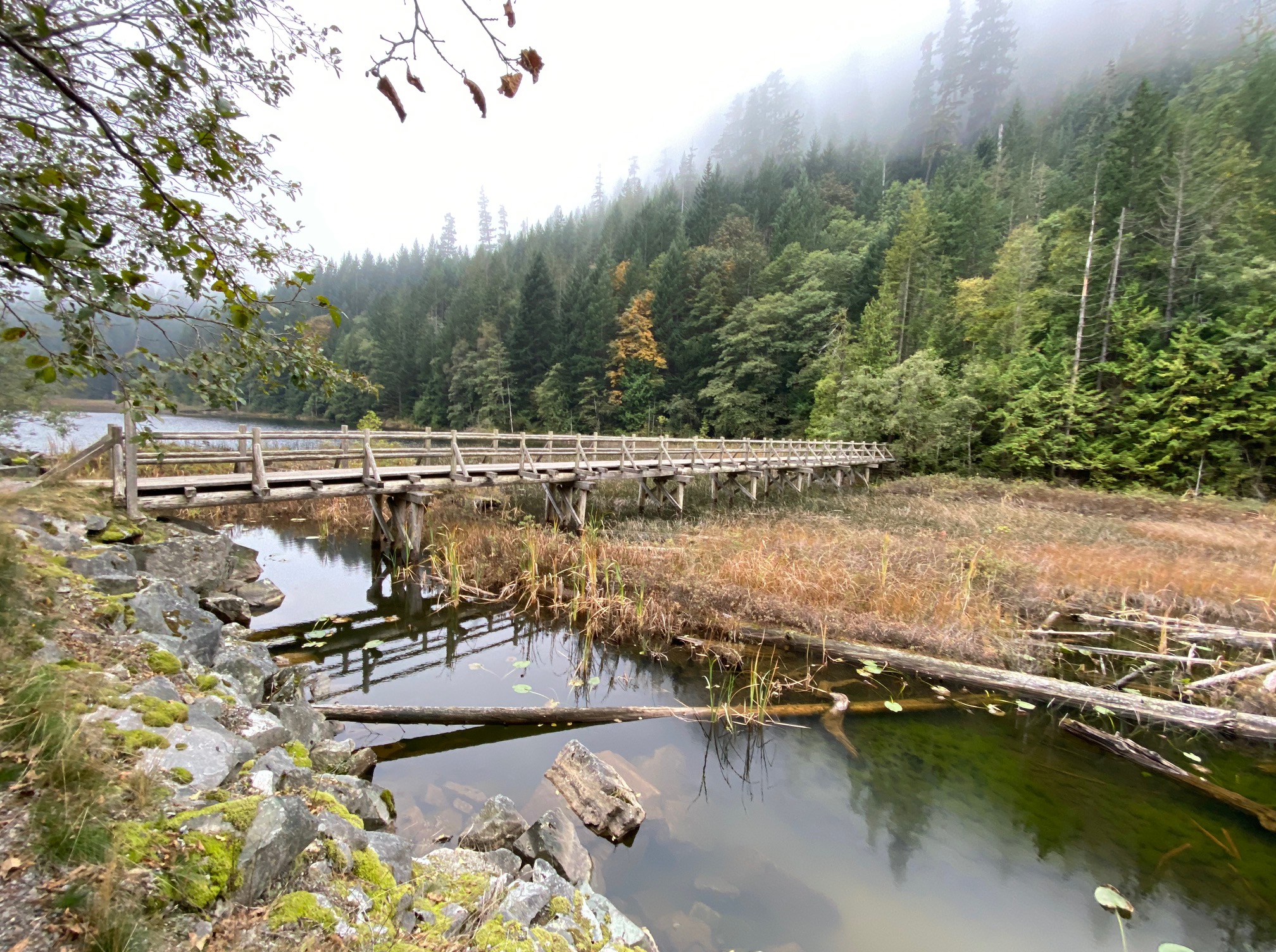
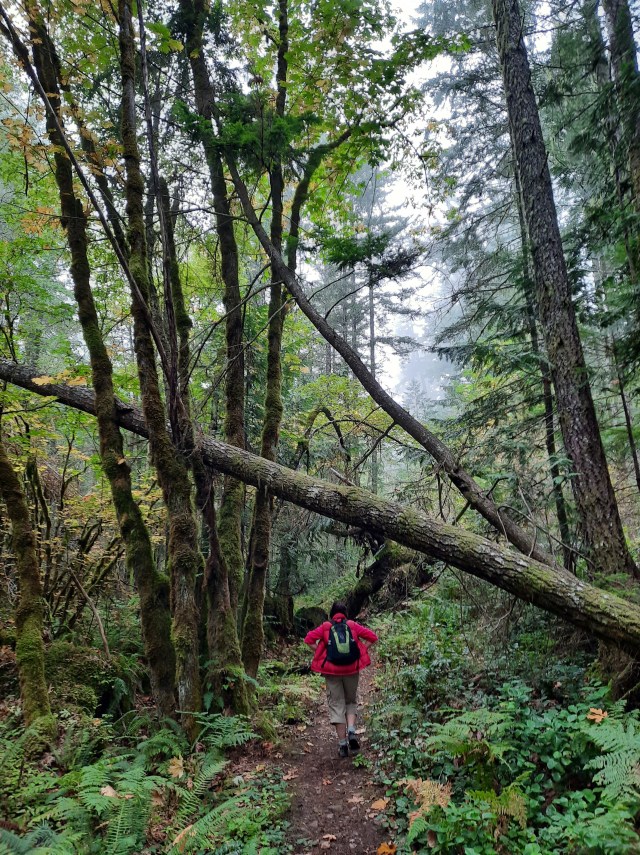
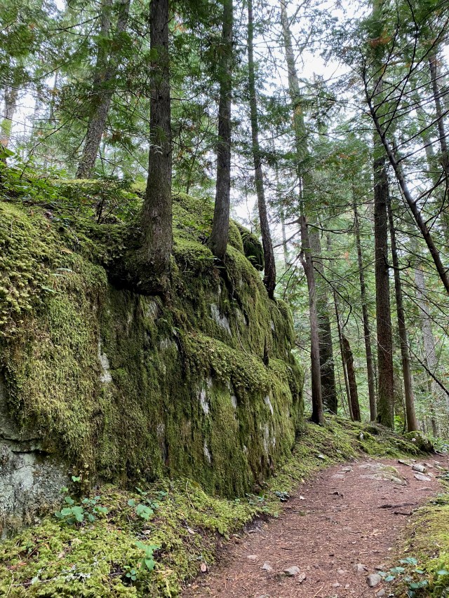
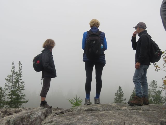
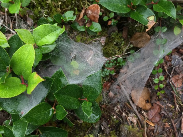
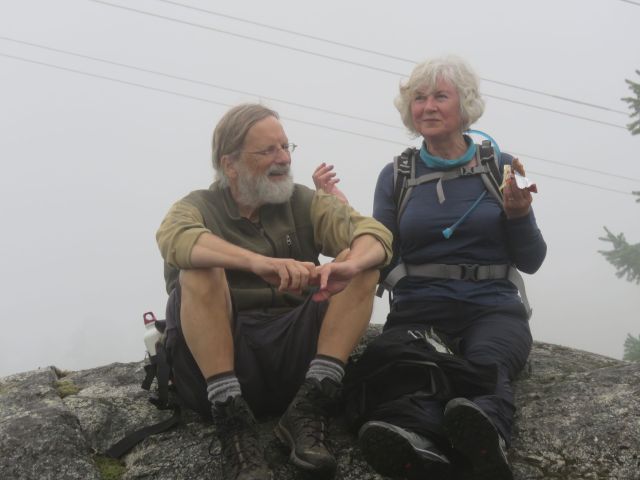
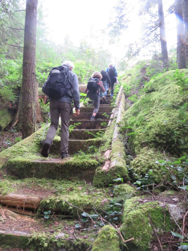
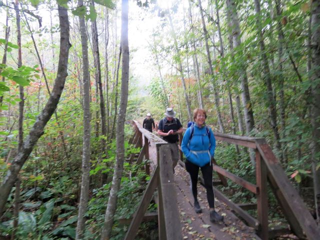
Heading south from the parking lot we crossed Proposed Bridge (photo at top) and turned left along Bridge Trail, then right where it joins Hill Trail, to Connector Trail (terms taken from the trail map). At this point three members of Group 1 took the optional side trip: a short, steep climb to Fire Lookout (which provided a fine view into clouds).
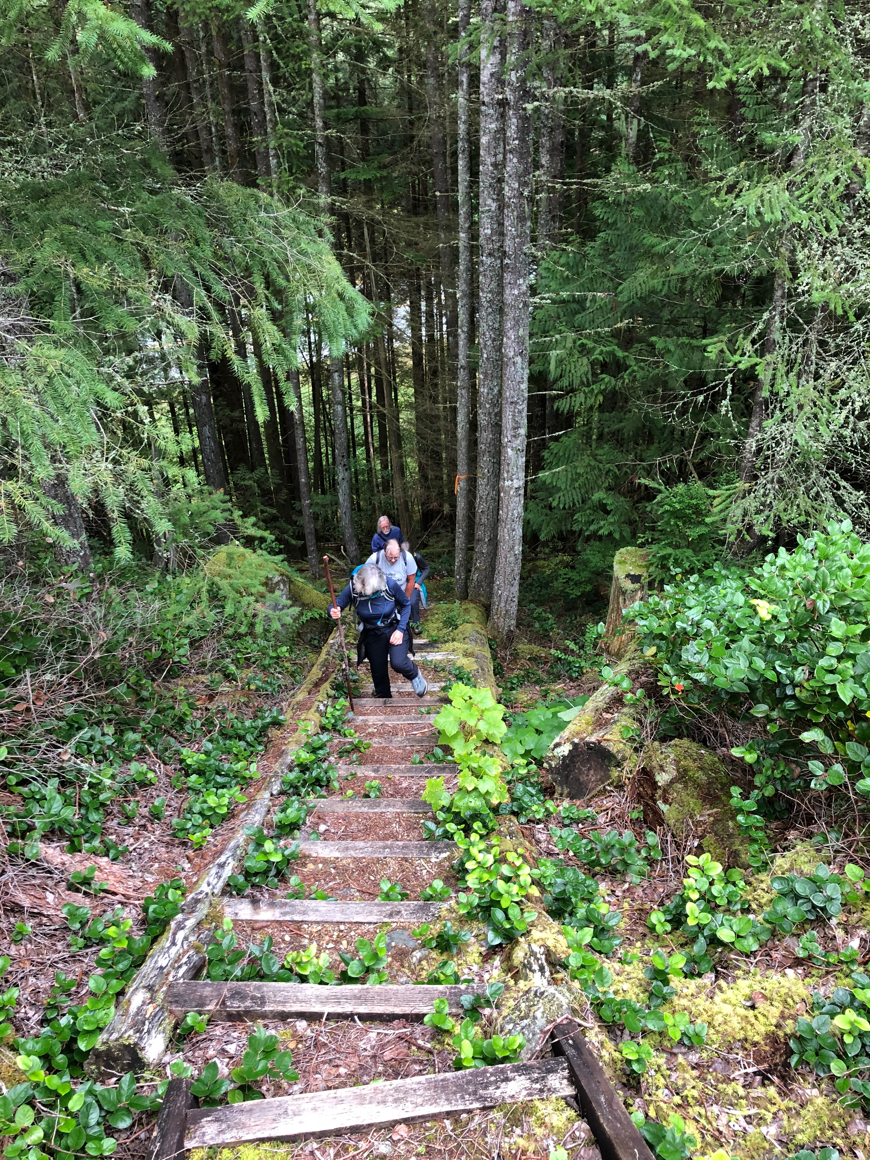
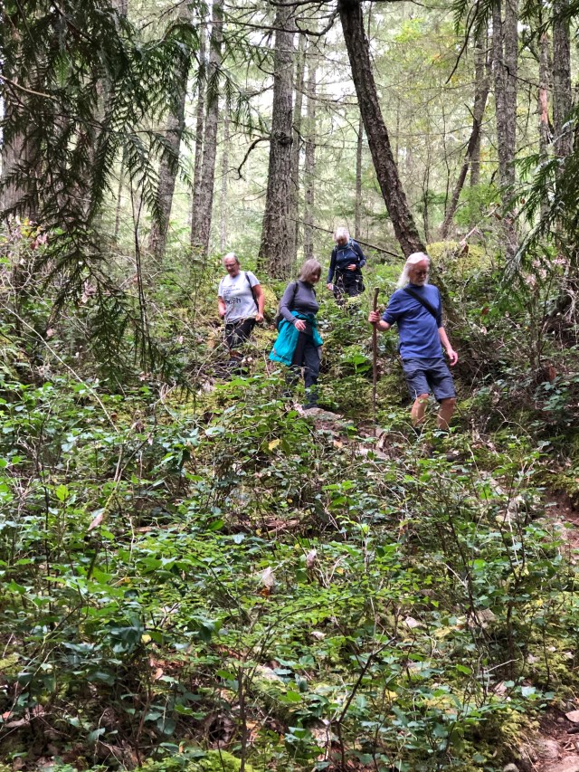
Sections of the trail were quite uneven underfoot through this section, and at one point Group 2 suffered an injury when Looper Joanne’s ankle turned. After limping along quite gamely for a while, she made the difficult decision (in consultation with Gord, her hiking companion, and Bruce, her group leader) to cut her walk short. The three of them then returned to the parking lot via an alternate route. while the remaining Loopers continued on.
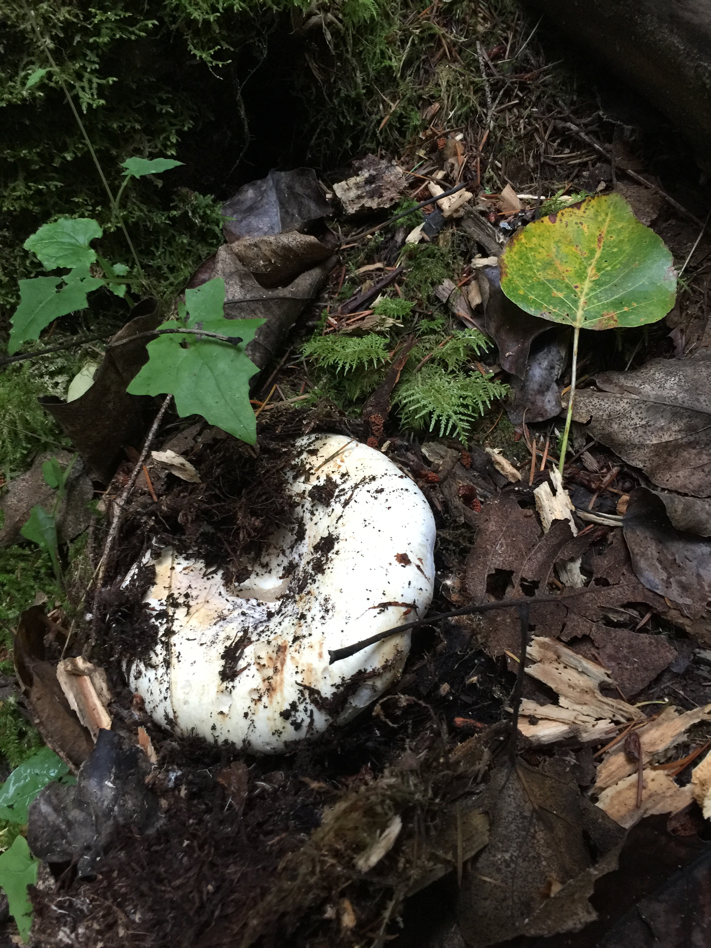
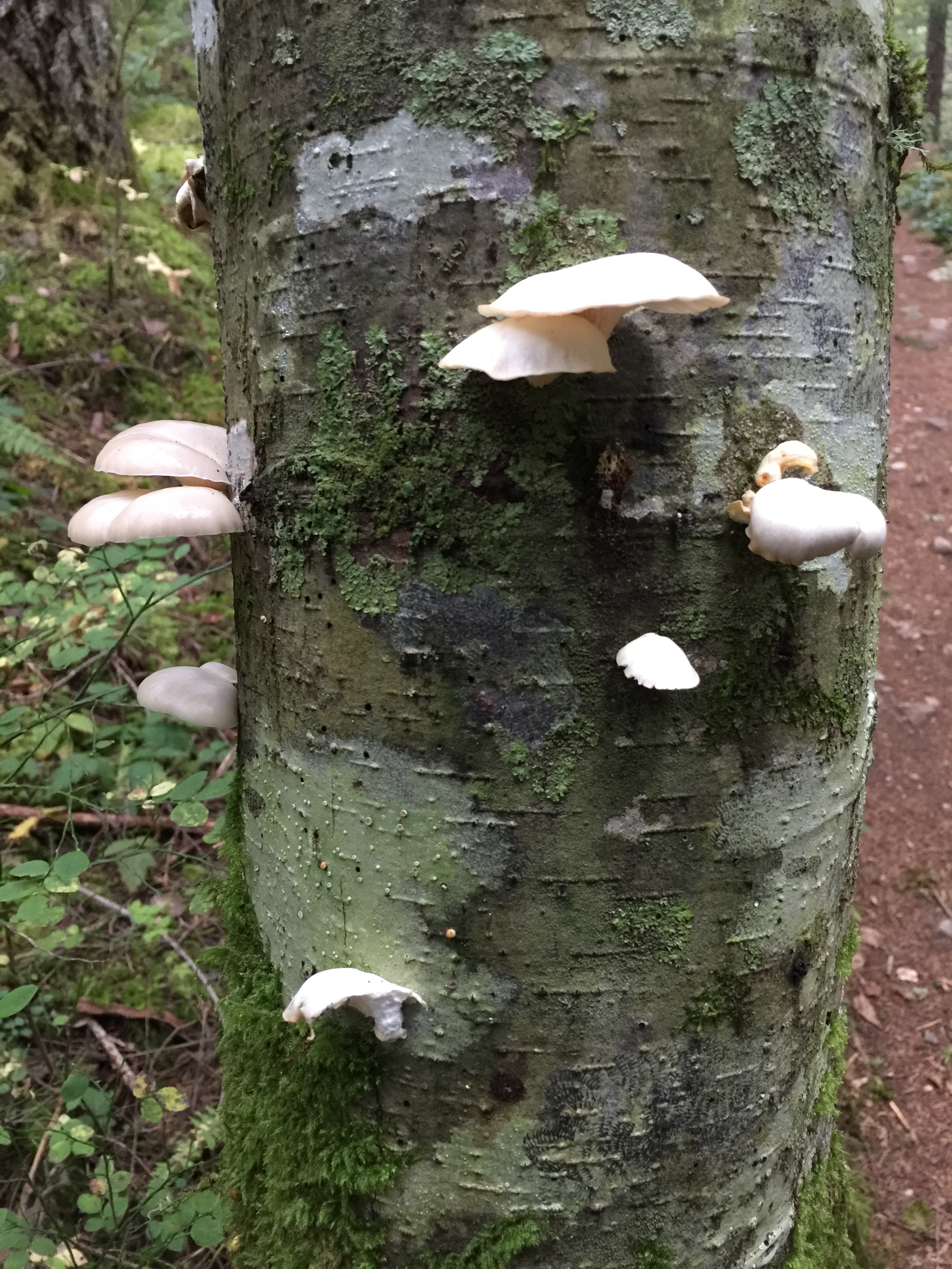
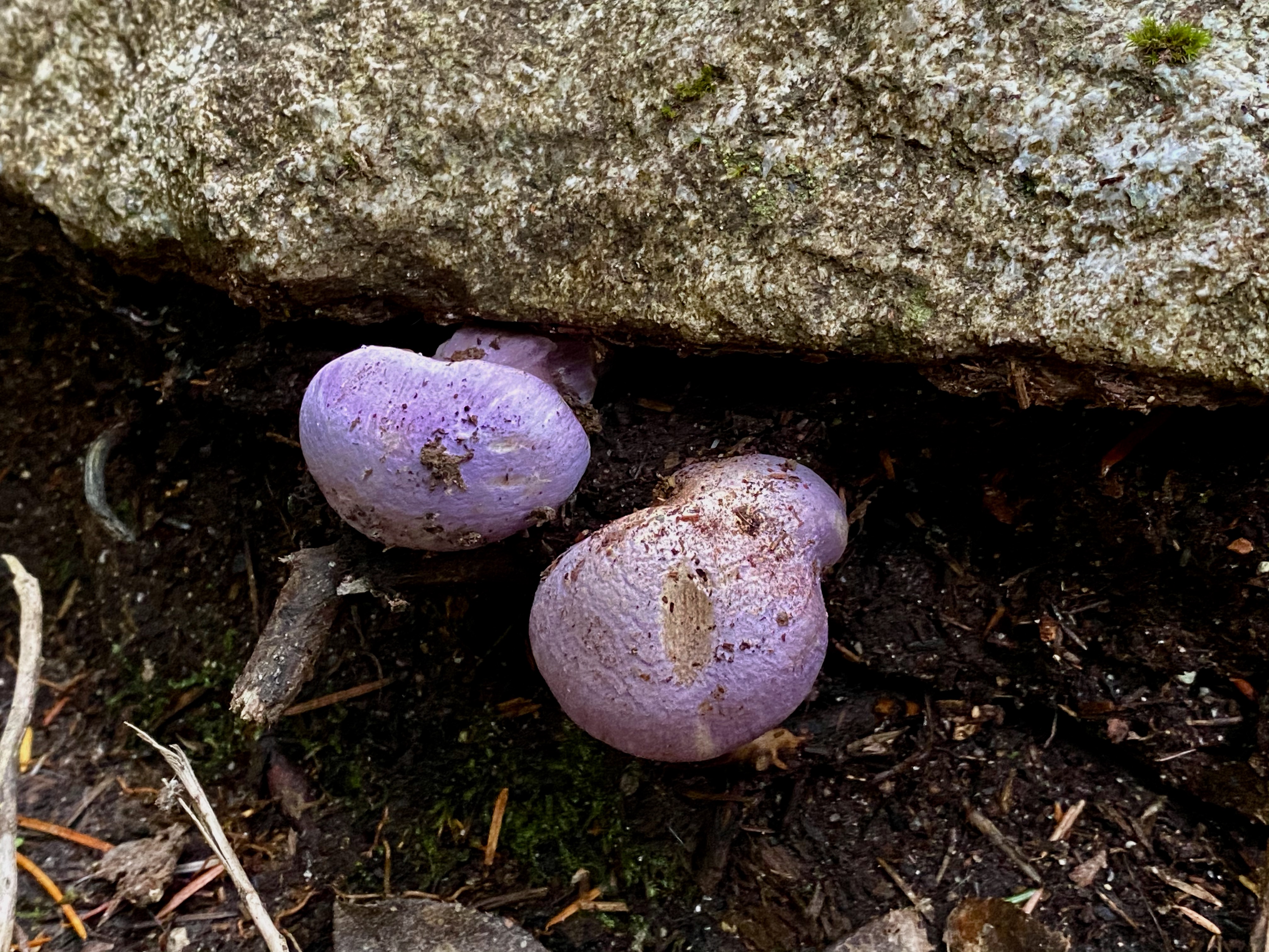
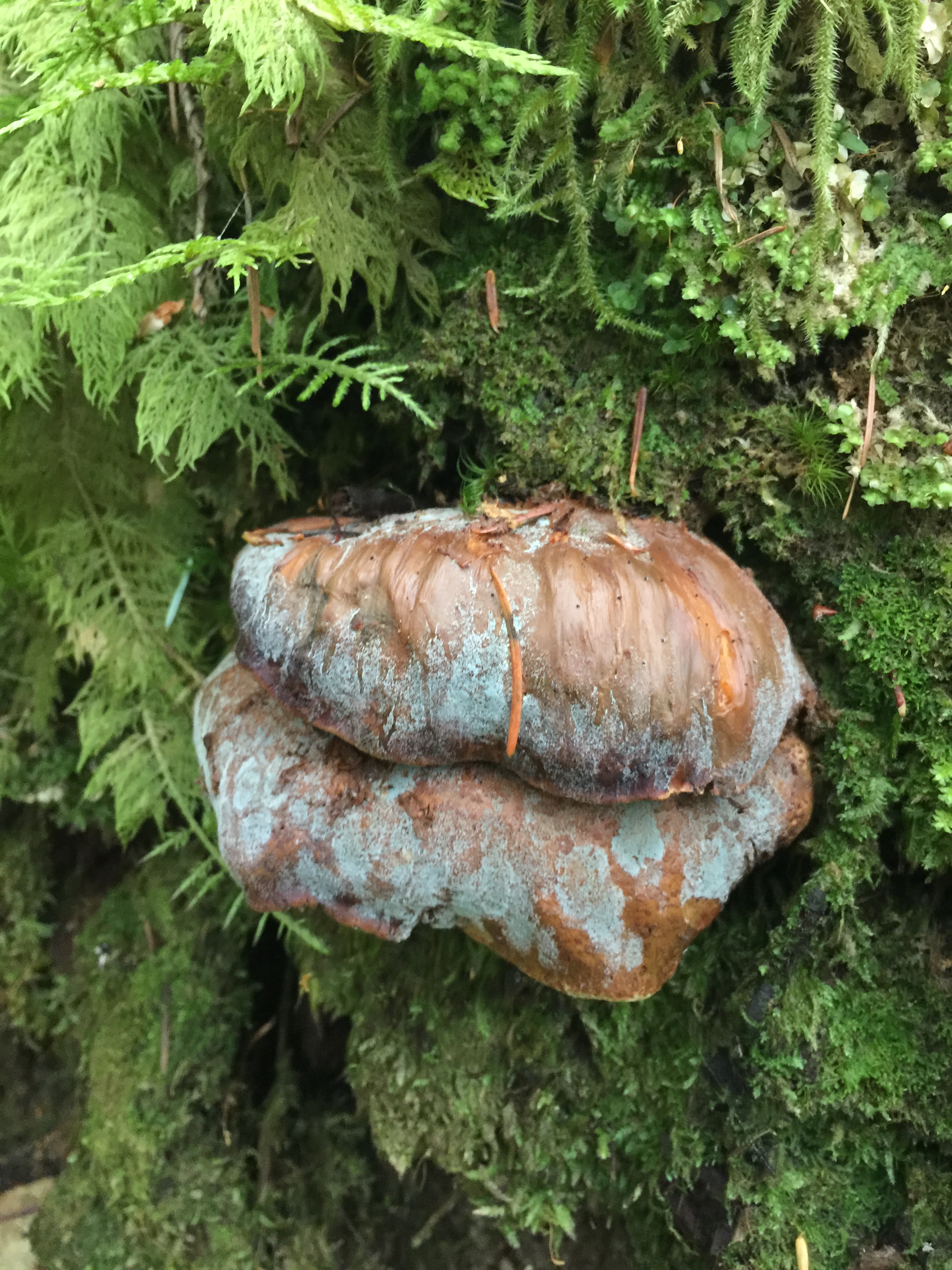
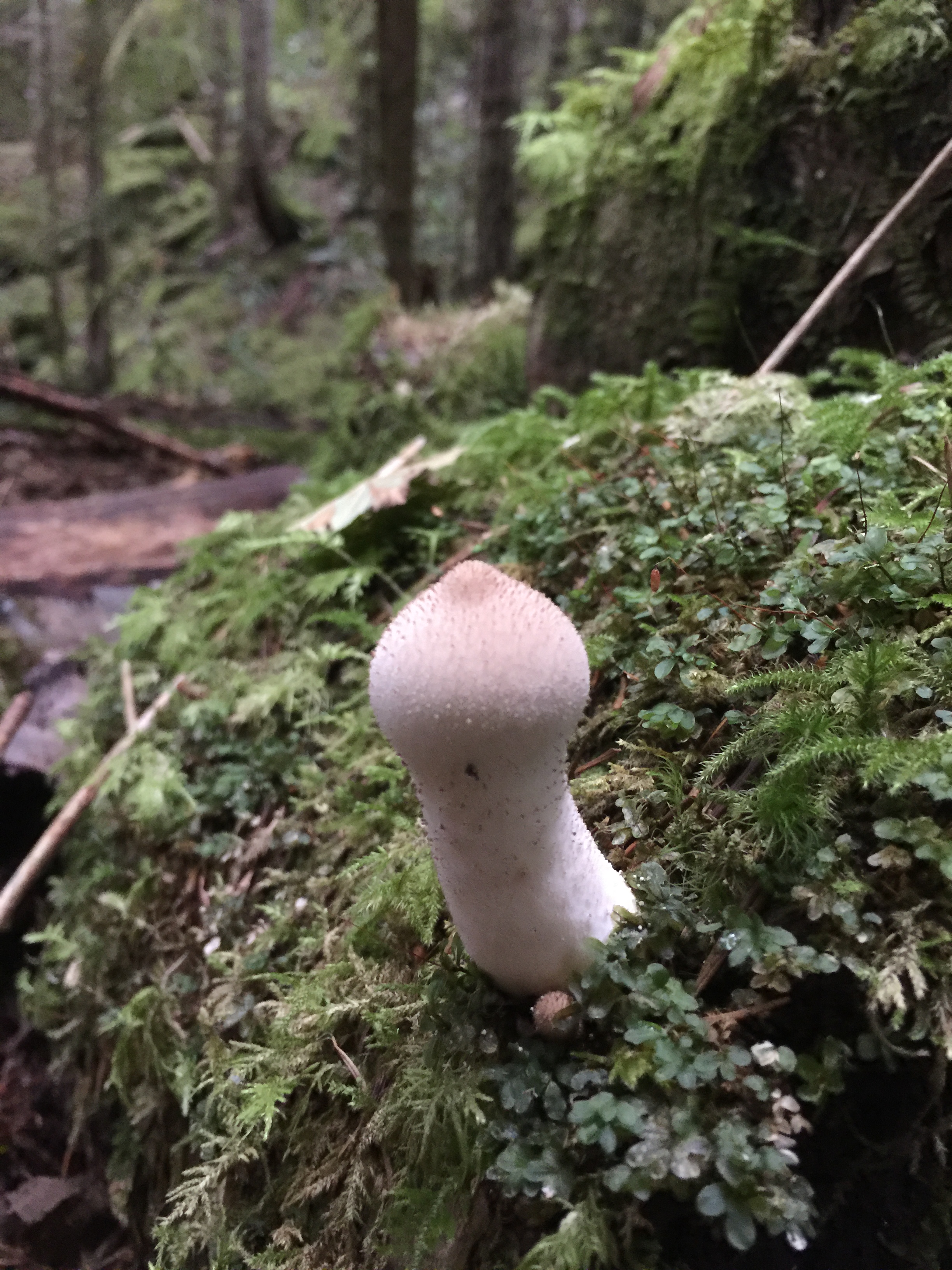
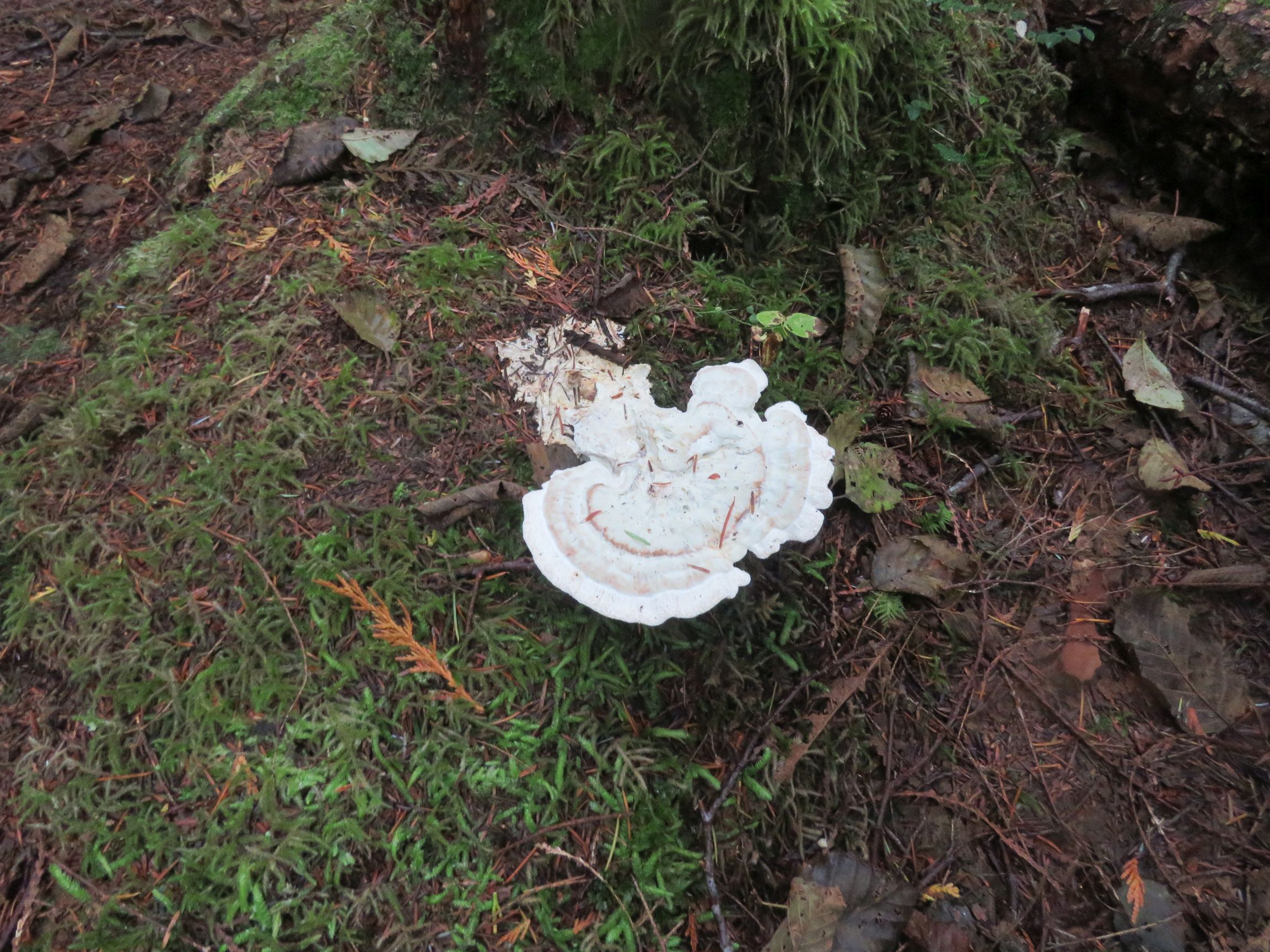
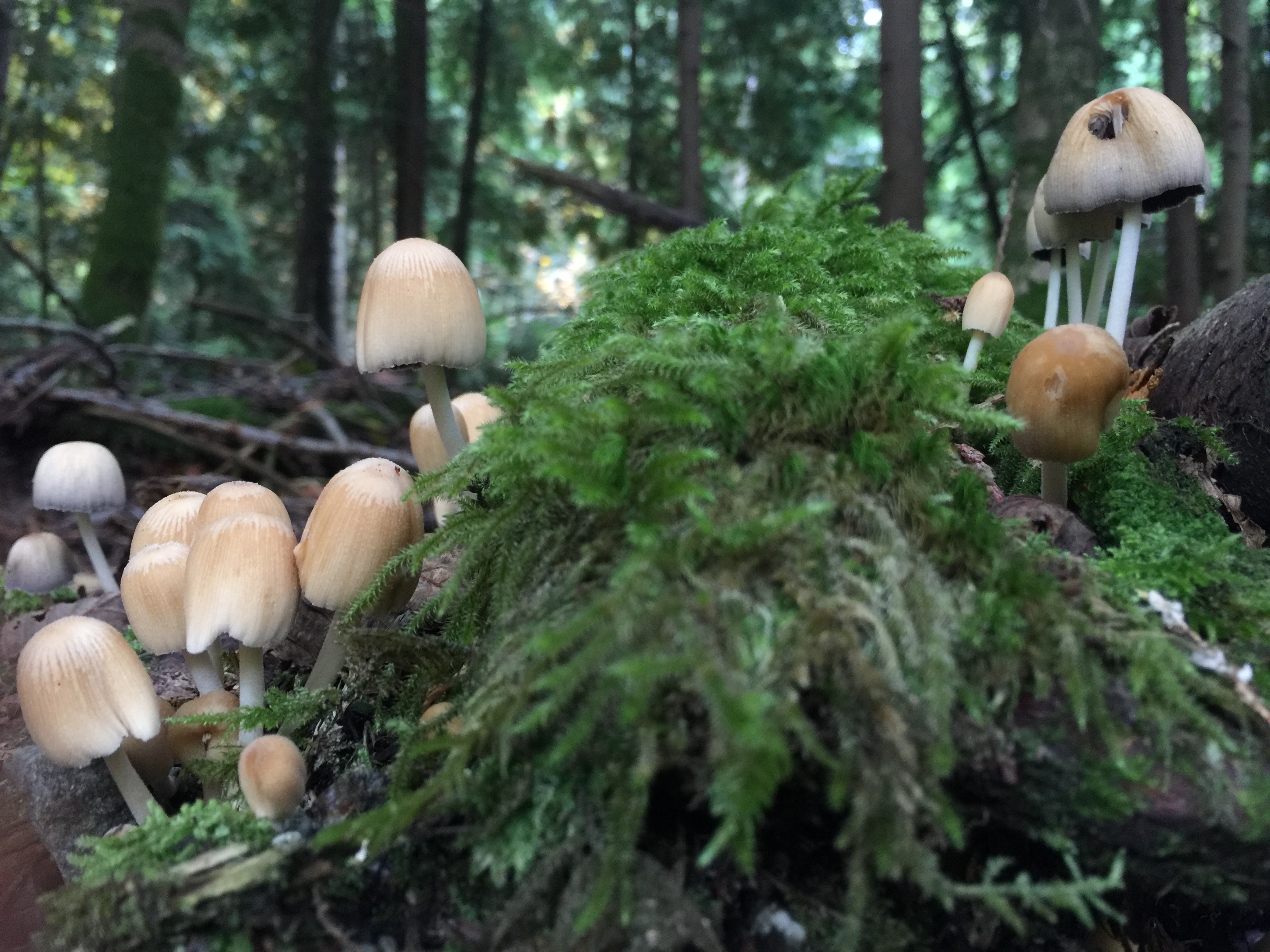
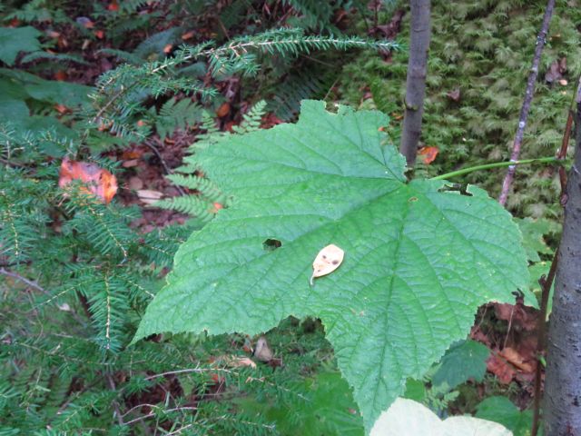
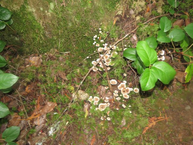
Mushrooms were everywhere along the way, an observation which is essentially an excuse for including the following mycological gallery:
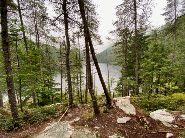
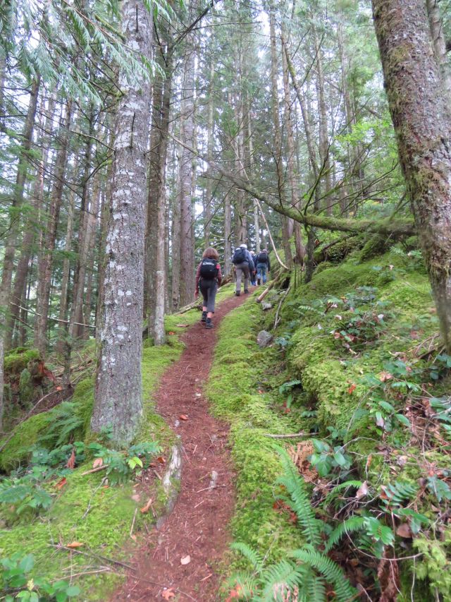
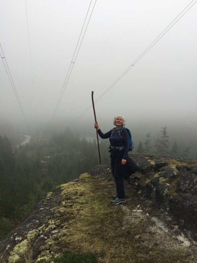
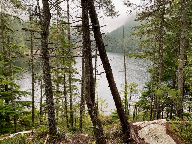
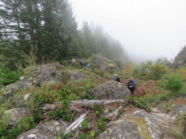
From Connector Trail, along the backside of Brohm Lake, the trail was fairly level, with water—Brohm Lake, a stream—to our right. At the northernmost end of the loop, the trail turns back south, and is once again near Highway 99 (and its noise), climbing fairly steeply in sections (see the colour-coded route map at the end of this posting) and continuing under the BC Hydro powerline, before once again descending to lake level, reaching the parking lot and our end point.

And a fine day was had by all! (with the possible exception of Joanne, whose ankle is reportedly on the mend, and who has vowed to buy some proper hiking boots…)
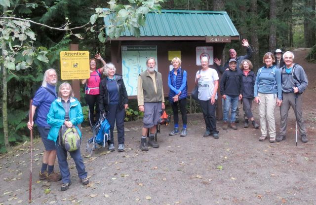
Photo credits to: Angela, Jon, Michael, Jean, Julie, Bruce, Adrienne, and Janet S.